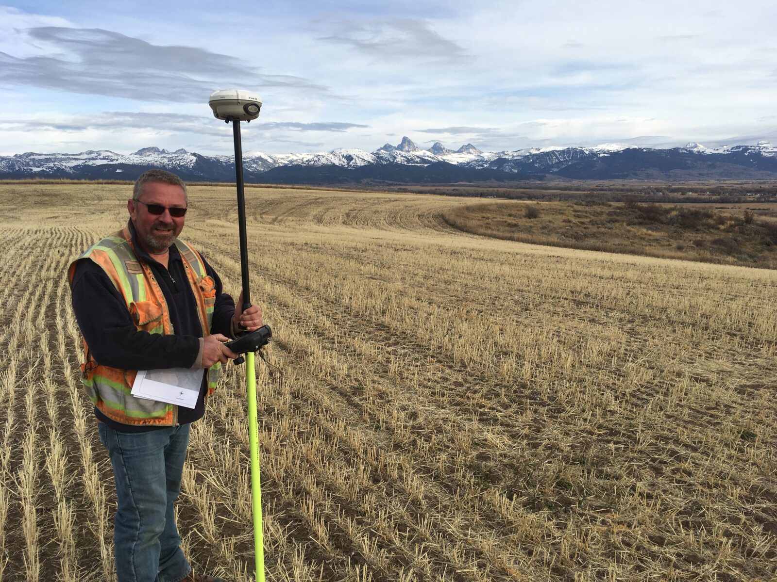
LAND SURVEYING
- BOUNDARY SURVEYS
- SUBDIVISION PLATS
- CONSTRUCTION STAKING
- ENGINEERING DESIGN SURVEYS
- ALTA/IMPROVEMENT LOCATION SURVEYS
- FEMA - LOMA - ELEVATION CERTIFICATES
- TOPOGRAPHIC SURVEYS
- SURFACE MODELING
- FEASIBILITY STUDIES
- AERIAL IMAGERY
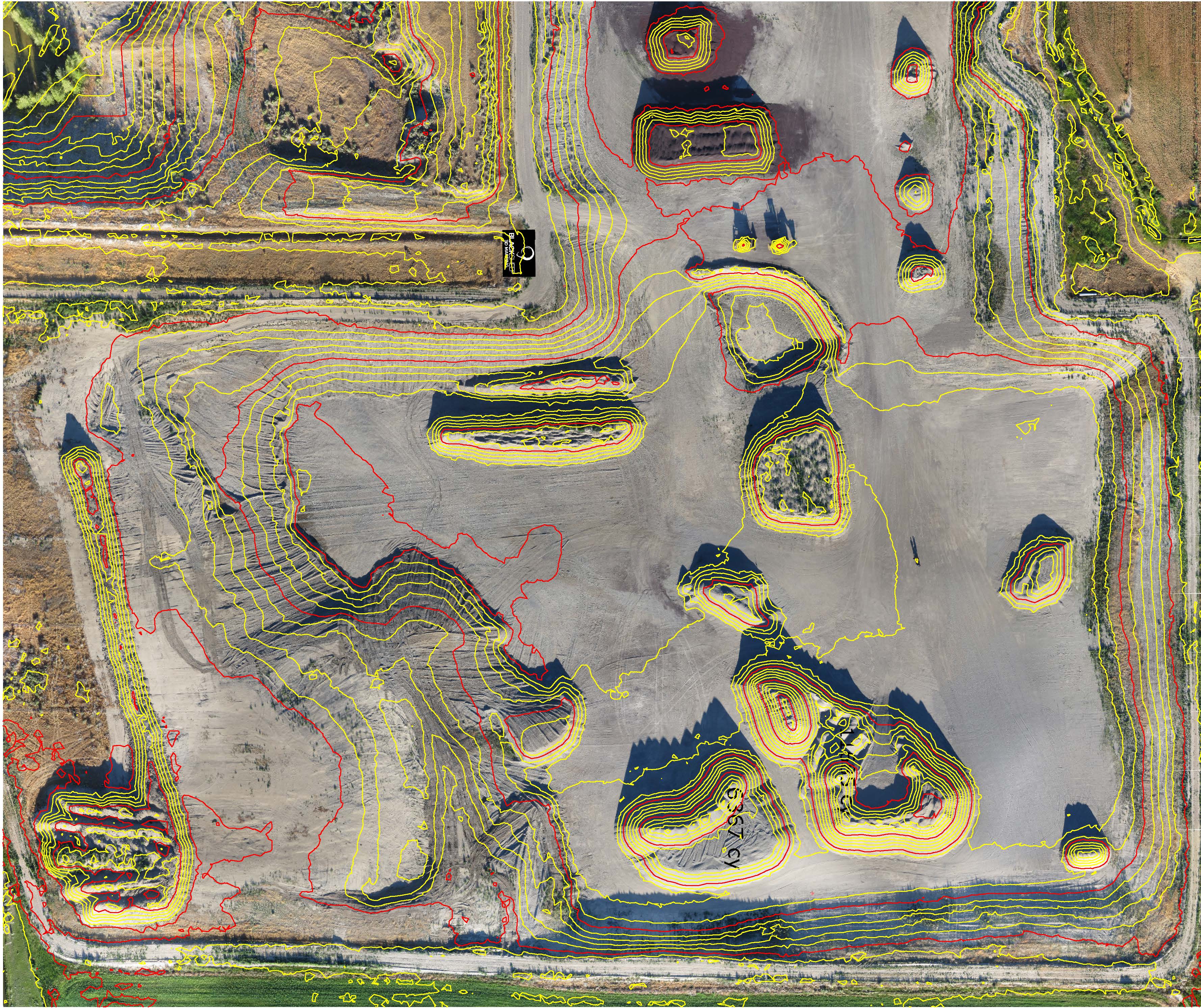
SURFACE MODELS
BADGER AERIAL MAPPING AND SURVEYING UTILIZES PHOTOGRAMMETRY SOFTWARE TO CREATE 3D POINT CLOUDS THAT CAN BE APPLIED TO CALCULATING VOLUMES AND EXCAVATION QUANTITIES. BADGER PERFORMS RIGOROUS QUALITY CONTROL CHECKS TO INSURE DATA MEETS PROJECT SCOPE AND SPECIFICATIONS.
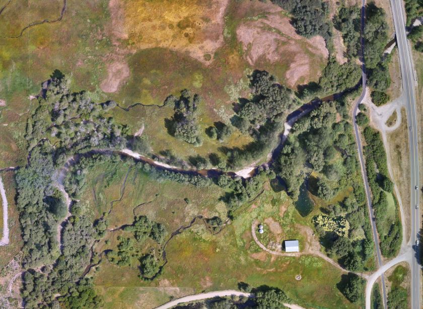
HIGH RESOLUTION AERIAL IMAGERY
BADGER AERIAL MAPPING AND SURVEYING IS AN INDUSTRY LEADER IN PRODUCING HIGH RESOLUTION AERIAL IMAGERY AND SURFACE MODELING. BADGER CONTROLS EACH IMAGE WITH SURVEY GRADE GLOBAL POSITIONING SYSTEMS (GPS) TO PROVIDE CLIENTS WITH ORTHORECTIFIED AERIAL PHOTOS THAT CAN BE USED WITH CONFIDENCE IN ENGINEERING AND ARCHITECTURAL DESIGN.
HISTORY
Badger Aerial Mapping and Surveying has office locations in Idaho Falls and Driggs, Idaho. Badger Aerial Mapping and Surveying is an aerial mapping, land surveying and photography outfit focusing on the land surveying and engineering fields. Badger was founded in the 2016 by Justin Steffler and Chet Kasper. Justin and Chet have over 35 years combined experience in the land development, environmental consulting, mapping and land surveying fields. Badger utilizes Unmanned Aerial Vehicle (UAV) technology to bring the world of high resolution imagery, surface modeling and surveying together.
First step
Please contact us for a free consultation on your next project


